Esri ArcGIS is a geographic information system for working with maps and geographic information. Using different GIS maps and layers can help tell stories, view sales results by region, track and manage the status of operations and activities, view population trends, find the best areas for conservation and much more. If your organization uses Esri ArcGIS, your administrator can configure Esri Maps so you can view the maps you own and have added as favorites, along with their layers, within the Laserfiche app.
Note: Organization maps are not supported in this initial Esri ArcGIS integration release.
To view Esri maps you own or have added as a favorite
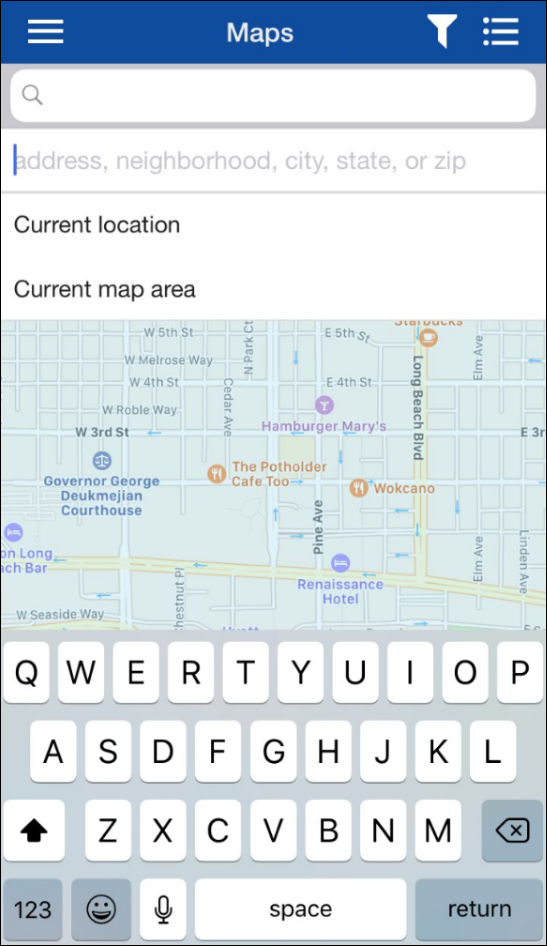
- From the app's main menu, press Maps.
- Provide your Esri credentials. Depending on how your administrator has configured Esri, you may be required to sign in at a later step.
- Esri Streets Basemap will load by default.
- Press the Esri Maps button
 at the top right of the screen, provide your Esri credentials (if you have not provided them previously), then select the maps you own or have added as favorites.
Note: Only maps you own or have added as a favorite will be available.
- Press the Esri Layers button
 at the top right of the screen to select the layers you want to view.
- To sign out of Esri maps, press the Esri Maps button at the top right of the screen, then press Sign Out.
All search options are available when using Esri maps.